


WJE PROJECTS
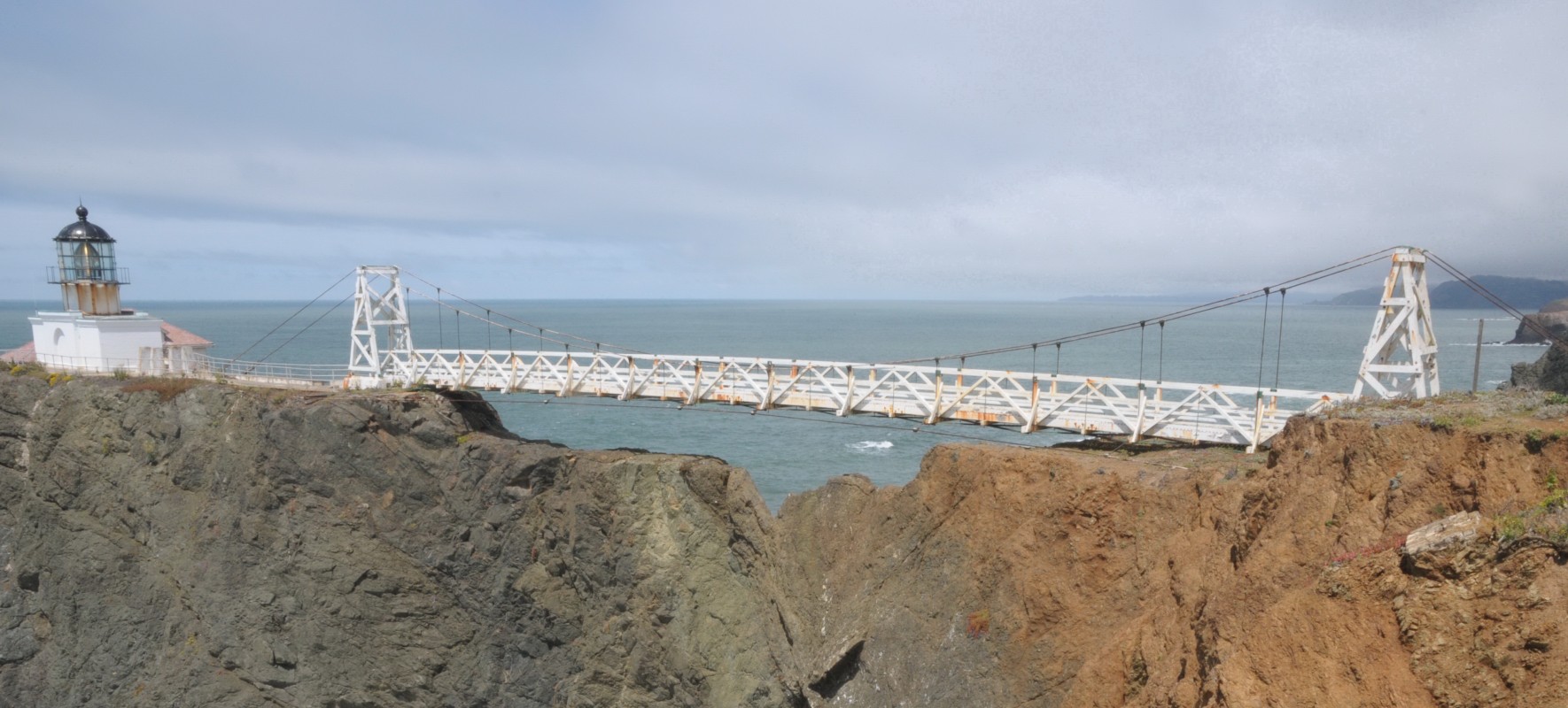
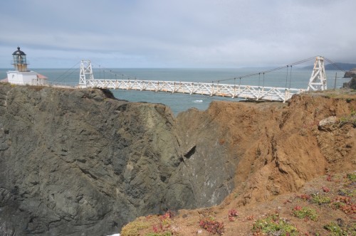
Point Bonita Lighthouse Bridge
CLIENT |
National Park Service (NPS) |
LOCATION |
Marin County, CA |
HAER Documentation
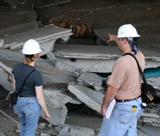
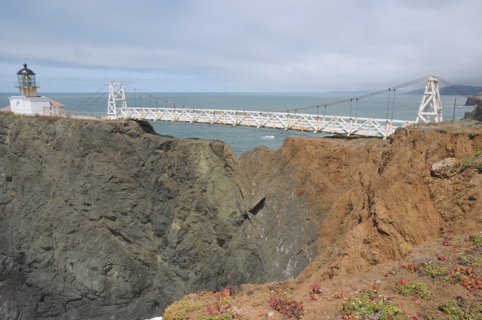
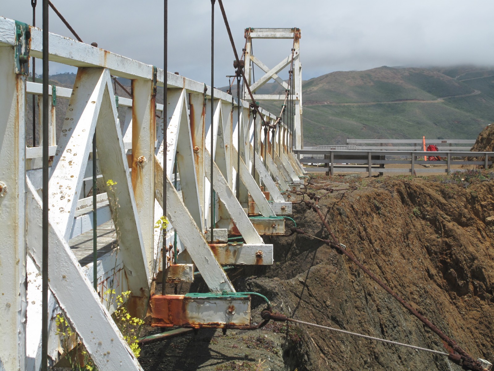
The site of the Point Bonita Lighthouse is continually buffeted by strong winds and salty ocean fog. In 2006, the severe exposure necessitated major rehabilitation of the bridge's timber framing and steel suspension cables, and in 2010, the NPS decided to replace the bridge with a more durable structure. As a contributing element to the Point Bonita Historic District and the lighthouse, which is on the National Register of Historic Places, the NPS required documentation of the bridge under Section 106 of the NHPA prior to dismantling the bridge.

BACKGROUND
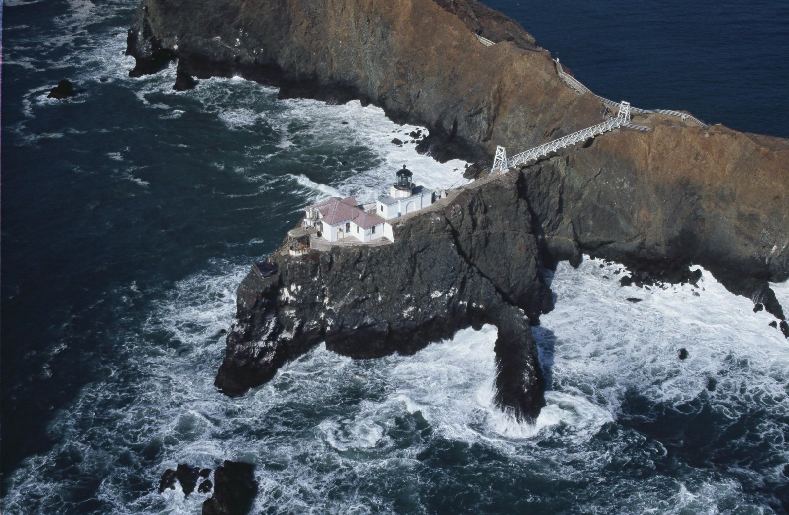
The Point Bonita Lighthouse and Fog Signal buildings are critical to marine navigation through the hazards of the Golden Gate. They are located on a steep rocky promontory overlooking the Pacific Ocean and the entrance to the San Francisco Bay.
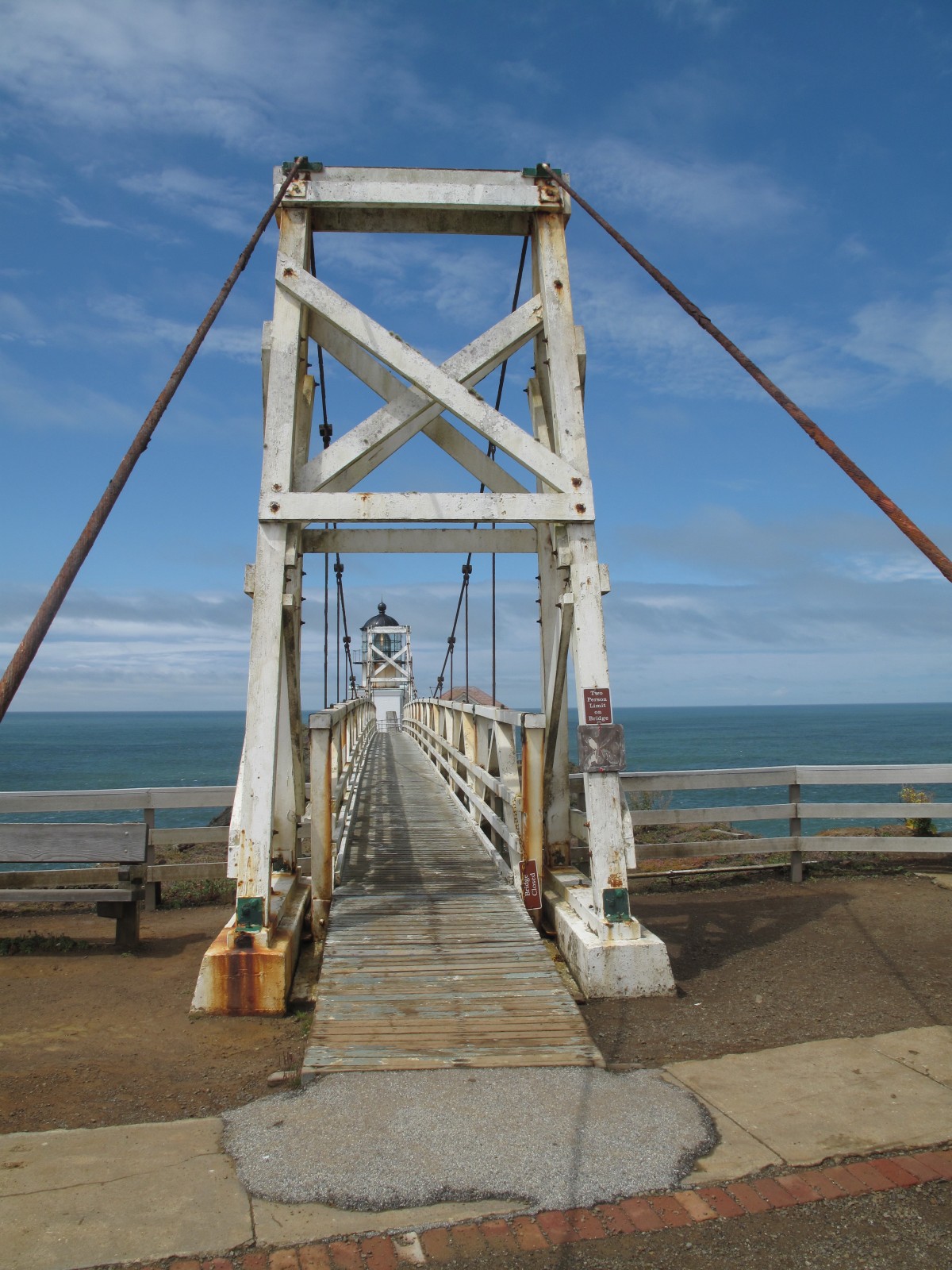
A suspension bridge was constructed in 1954 after a series of landslides caused a 150-foot section of the original land bridge to slough away, isolating the lighthouse and fog signal from the mainland. The suspension bridge provides the only access to these facilities.
SOLUTION
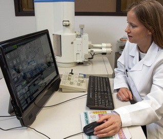
WJE prepared Historic American Engineering Record (HAER) documentation for the suspension bridge. WJE provided all materials, supplies, supervision, coordination, and management necessary to complete the HAER documentation as well as large format photography historical research and preparation of a written narrative. Using NPS guidelines, the HAER documentation was assembled to archival standards suitable for submission to the Library of Congress.
RELATED INFORMATION
-
 Our professionals balance the need to provide practical, long-term solutions with the ability to... MORE >Services | Historic Preservation
 -
 We collaborate with all project stakeholders throughout the design process to ensure the proper... MORE >Services | Systems and Components
 -
 When the integrity or condition of a structure is in question, clients rely on us for answers MORE >Services | Structural Engineering